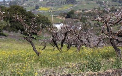
ocala avenue northbound – blossoms and flowers
the vast orchards that once covered the santa clara valley stretched till this area and the adjacent foothills. just up the hill from the ocala avenue bus station you can still find what must be one of the last apricot orchard remaining. today, the area is subdivided,...
ocala avenue southbound – propeller planes
this shelter is located adjacent to the reid-hillview airport, which is home to a large number of small propeller aircraft. the airport was built in 1937, and encompasses currently 179 acres of land. it hosts more than 250,000 arrivals and departures every year on its...
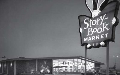
story road northbound – stories & fairytales
in 1851, alanson story established a 380 acre farm at a location that is now south of story, east of king road. this was the first farm located in the area. story road was named after his homestead. most likely inspired by the name of story road, the subdivision of...
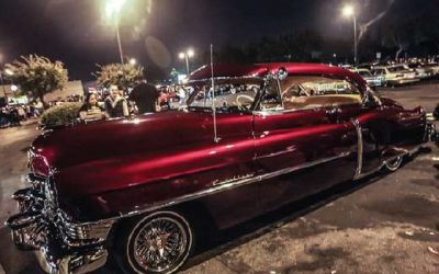
story road southbound – low riding
the suburban development of east san jose after wwII was influenced by car culture: drive-in theaters, bowling alleys, drive-in diners, shopping centers and super markets - all designed around the use of cars – represented modern living and generated the urban layout...
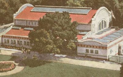
alum rock southbound – come visit little yosemite!
alum rock park, also dubbed “little yosemite”, is located in the foothills of san jose at the end of alum rock avenue. founded in 1872, it is california’s oldest municipal park. from 1890 to 1932 it was a nationally known health spa with 27 mineral springs, an indoor...
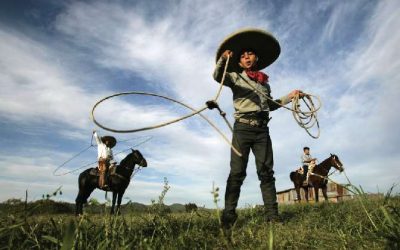
alum rock avenue northbound – charros & bullfighters
the mexican tradition of charreada is a competition similar to rodeo. the tradition is still alive in the neighborhood and adjoining foothills, as evidenced by the “el rodeo” store at alum rock & white that sells clothing and paraphernalia related to the sport. we...
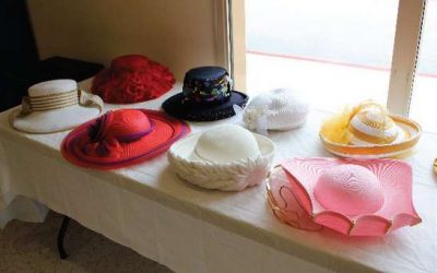
jackson avenue westbound – church hats
the shelter’s surrounding area used to have a significant african american population. while this population has largely moved away to other areas of the city, several predominantly african american churches remain: st. paul missionary baptist church and st. james...
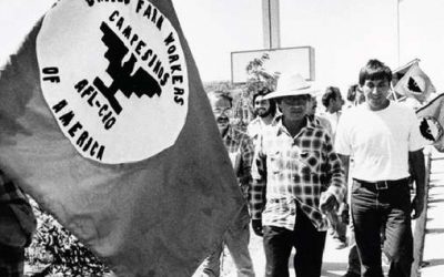
jackson avenue eastbound – cesar chavez & the farm workers movement
this area was home to many farm workers when san jose was still heavily defined by agriculture. “our lady of guadalupe church” located close to the brt line at 2020 e. san antonio street is a catholic parish heavily engaged in issues of social justice. it was here...
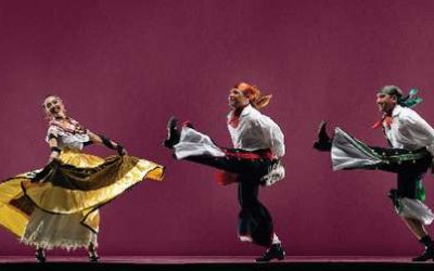
king road westbound – dancing the papel picado
similarly to king road eastbound, patterns are based on the art form of papel picado. while the eastbound station uses images derived from indigenous traditions, the westbound patterns are based on mexican folkloric traditions, including mariachi music and dance. they...
king road eastbound – indigenous traditions translated into papel picado
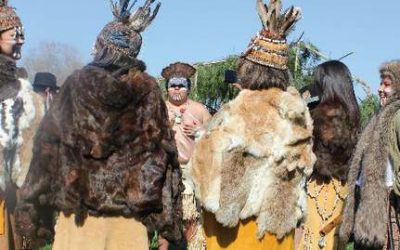
both king street station shelters are located in front of the mexican heritage plaza, and its school of arts and culture. this important neighborhood institution is instrumental in keeping mexican and native american heritage, art forms, and traditions alive. we...
downtown westbound – world’s first hard disk drive
ibm started operating a punch card plant in downtown san jose in 1943 (at 16th st and saint john st), becoming one of the first technology based businesses in santa clara county. consequently, ibm opened a small research laboratory close by on 99 notre dame street in...
downtown eastbound – all kinds of seeds
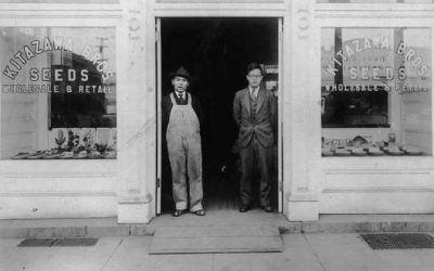
representing san jose’s agricultural history, the paving pattern is inspired by historic seed packet designs from kitazawa seed company, america’s first seed company to specialize in asian vegetable seeds. kitazawa was founded in san jose in 1917 and was originally...
city hall westbound – how to file a patent / america’s most innovative city
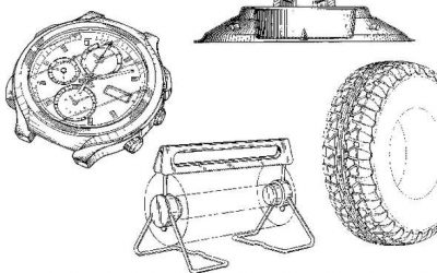
in 2015, the u.s. patent and trademark office opened a branch at san jose’s city hall. it is one of only three patenting offices outside of the patent office’s headquarter in virginia. the metropolitan area of san jose – sunnyvale – santa clara has been the leading us...
24th street westbound – the big bone game
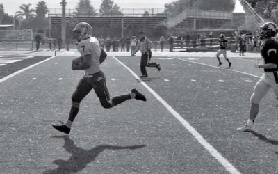
san josé high school, located on 24th street just north of santa clara, is the second oldest public high school in california and was founded in 1863. the artwork pattern references the school by blending drawings of historic and current school architecture, the...
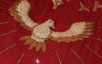
24th street eastbound – crowns and doves
the area surrounding the shelter is called “five wounds”. it is characterized by one of the largest portuguese american populations in the nation with its identity deeply rooted in portuguese culture. crocheting is a traditional portuguese art form, and is still...

